As it approaches a popular vacation spot, the storm is reduced to Category 2, cutting off power and alerting authorities.
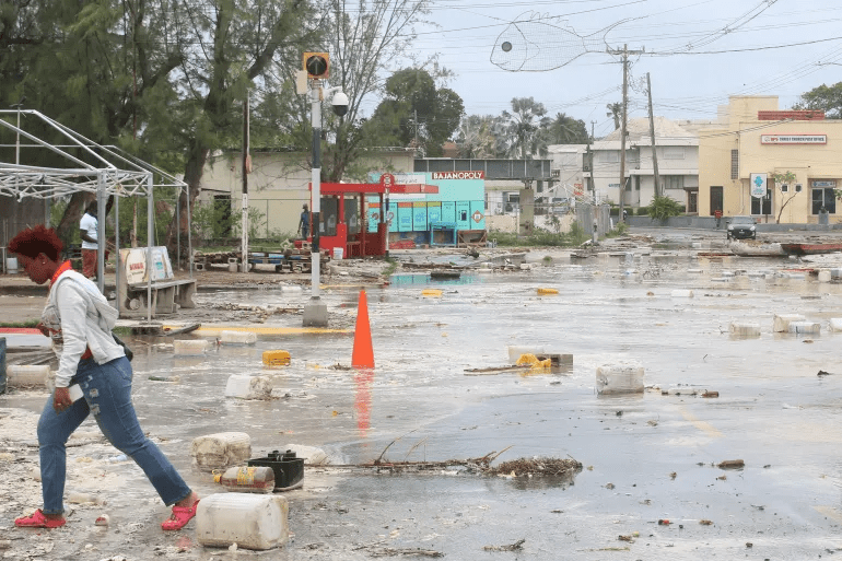
Following its devastating impact on Mexico’s east coast, Hurricane Beryl was reduced to a Category 2 storm, inflicting extensive power disruptions and placing authorities on high alert.
Following Beryl’s destructive route in the Caribbean, which claimed the lives of at least 11 people as it stormed across Jamaica, Grenada, Saint Vincent and the Grenadines, and northern Venezuela, the storm made landfall on Friday over the Yucatan Peninsula, a famous tourist destination.
Also Read Supreme Court has Started Hearing about issues with the NEET exam.
How Dangerous is Hurricane Beryl?
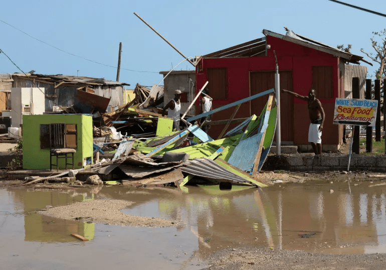
It flattened the island of Carriacou in half an hour on Monday morning and has knocked out 95 percent of the power in Grenada, leaving hospitals without water or electricity. As it hurtles its way across the Caribbean, Hurricane Beryl, one of the strongest ever recorded, is leaving a trail of destruction as it makes its way towards Jamaica and the Cayman Islands.

The hurricane, which has been designated the highest category for storms – Category 5, has already claimed its first victim – one death has been reported on Union Island – while most homes in Grenada, where winds reached 240km/h (150mph), have been damaged or destroyed. Among the worst affected are the islands of Carriacou and Petite Martinique in Grenada.
Also Read Railway Stocks: What Driving IRFC, RVNL, and IRCTC Gains?
How serious is Hurricane Beryl?
This early in the hurricane season, which normally lasts from early June to late November, Beryl is the earliest Atlantic storm on record to go from Category 1 to Category 5. According to reports, Beryl has reached wind speeds of 270 km/h (165 mph) beyond Grenada.
Grenada’s prime minister, Dickon Mitchell, stated during a news briefing on Monday that “Carriacou was flattened in half an hour.” The second-largest island in the state of Grenada is called Carriacou.
According to the US National Hurricane Centre (NHC), “This is a very dangerous and potentially fatal situation.”
Additionally, history was made by the first hurricane of the 2024 Atlantic hurricane season, which crossed the Atlantic Ocean and briefly strengthened to a Category 5. Due in part to climate change brought on by humans, it was the first storm of that intensity to ever be recorded during the season.
As global temperatures rise, climate scientists have frequently warned of longer and more intense hurricane seasons.
According to the US National Hurricane Centre (NHC), “This is a very dangerous and potentially fatal situation.”
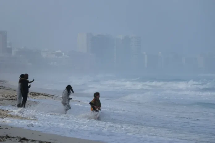
Beryl’s winds reached the northern Tulum region on Friday, slowing to 160 km/h (100 mph). Despite this, the storm’s intensity was sufficient for Mexico’s civil protection service to issue a red notice, indicating a maximum hazard danger. The organisation has recommended that people stay in their houses or take shelter in storm shelters.
Reporting from Playa del Carmen, Mexico, Lucia Newman of Al Jazeera said that no deaths have been recorded as of yet.
Before reaching landfall in the US state of Texas, the storm was predicted to move through the Gulf of Mexico.
“The wind was hissing like crazy. Branches have fallen. Many areas lack power, and phone service is also unavailable, according to Newman.According to the US National Hurricane Centre (NHC), “This is a very dangerous and potentially fatal situation.”
“This hurricane is now heading towards the Gulf of Mexico, dying down or slowing down as it moves through Mexico, dropping water that could cause storm surges and also mudslides,” she added.
“But eventually, once it hits the Gulf of Mexico, the problem is that the warm waters there could make it strengthen yet again … So we still have Hurricane Beryl for at least a few more days according to meteorologists.”
Also Read ‘BB OTT 3’: Armaan Malik slaps Vishal Pandey for his wife Kritika!

Three people were reported killed in Grenada, three others in Saint Vincent and the Grenadines, three in Venezuela and two in Jamaica, according to officials.
While it is extremely rare for such powerful storms to form this early in the Atlantic hurricane season, which runs from early June to late November, ocean temperatures have been warmer than usual.
North Atlantic waters remain between 1 -3 degrees Celsius (1.8-5.4 degrees Fahrenheit) warmer than normal, according to the US National Oceanic and Atmospheric Administration (NOAA), contributing to the conditions needed for severe hurricanes to form.
Stay Connected With us: Siasatpro.com


Recent Comments